
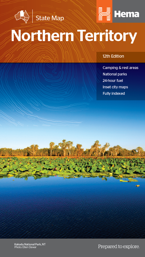
Hema Northern Territory State Map
Product description
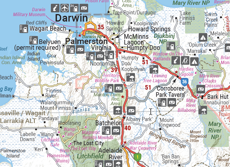
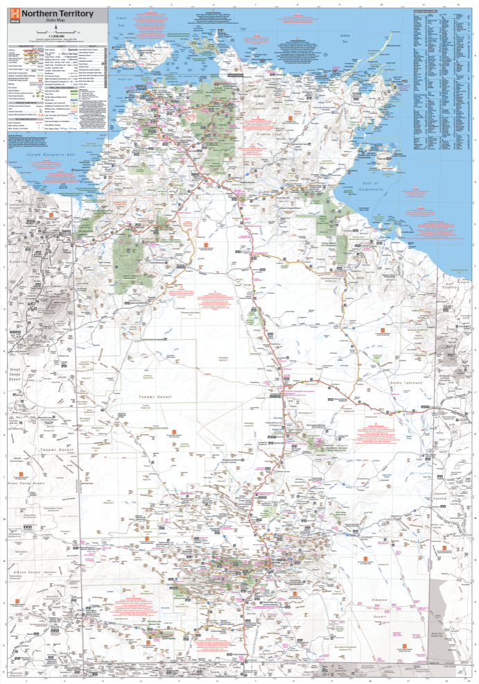
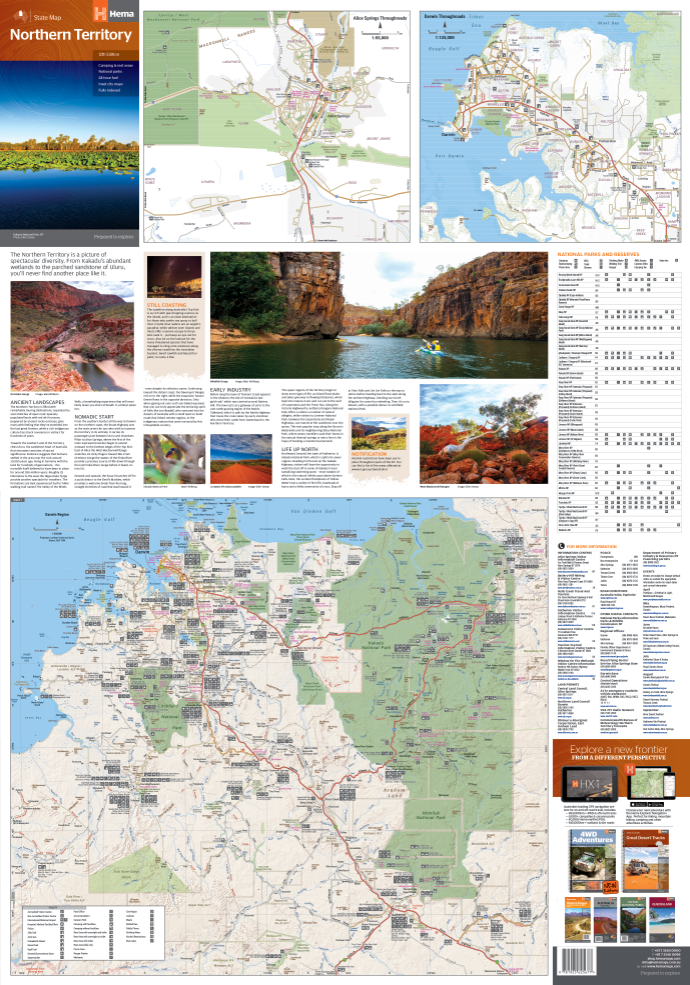
A map of the Northern Territory that has camping and rest areas, 24hour fuel and points of interest. On the reverse are through road maps of Darwin and Alice Springs, and a map of the greater Darwin region. For trip planning, there is a national park matrix and contact details for information centres.
The map also features 24-hour fuel, camping areas and rest areas. Marked on the map are highways, ...
Read More
![]()
A map of the Northern Territory that has camping and rest areas, 24hour fuel and points of interest. On the reverse are through road maps of Darwin and Alice Springs, and a map of the greater Darwin region. For trip planning, there is a national park matrix and contact details for information centres.
The map also features 24-hour fuel, camping areas and rest areas. Marked on the map are highways, major roads and minor roads, national parks and Aboriginal land and various points of interest. The map is fully indexed, and includes a handy list of accredited visitor information centres.
KEY FEATURES
- GPS surveyed roads and tracks
- Fuel stops 4WD tracks
- Camping areas
- Historic sites
- Detailed inset maps
- Waterproof/Durable paper


