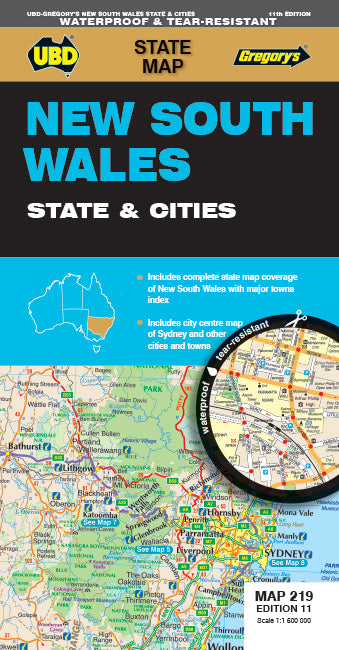
New South Wales State & Cities Road Map 219 (11th Edition) by UBD Gregory's (2023)
| ISBN | 9780731933273 |
|---|---|
| Publisher | Hardie Grant |
| Size | 69 x 92 x 10mm |
| Weight (g) | 100g |
Product description
The latest edition of the New South Wales State & Cities Map has been fully revised and updated and printed on waterproof paper.
State mapping at a scale of 1 : 1 600 000 with an index to major towns featured on one side.
Street level mapping for Byron Bay, Gosford, Katoomba, Newcastle, Parramatta, Sydney and Wollongong plus regional mapping for the Lower Hunter Valley and Snowy Mountains ... Read More
State mapping at a scale of 1 : 1 600 000 with an index to major towns featured on one side.
Street level mapping for Byron Bay, Gosford, Katoomba, Newcastle, Parramatta, Sydney and Wollongong plus regional mapping for the Lower Hunter Valley and Snowy Mountains ... Read More
The latest edition of the New South Wales State & Cities Map has been fully revised and updated and printed on waterproof paper.
State mapping at a scale of 1 : 1 600 000 with an index to major towns featured on one side.
Street level mapping for Byron Bay, Gosford, Katoomba, Newcastle, Parramatta, Sydney and Wollongong plus regional mapping for the Lower Hunter Valley and Snowy Mountains as well as touring information on the other side.
This handy easy to carry fold out map is an essential tool to have with you when travelling through NSW or for anyone wanting to reference NSW roads & towns as well as information on the major city centres.
Show Less
| Isbn | 9780731933273 |
|---|---|
| Publisher | Hardie Grant |
| Size | 69 x 92 x 10mm |
| Weight (g) | 100g |


