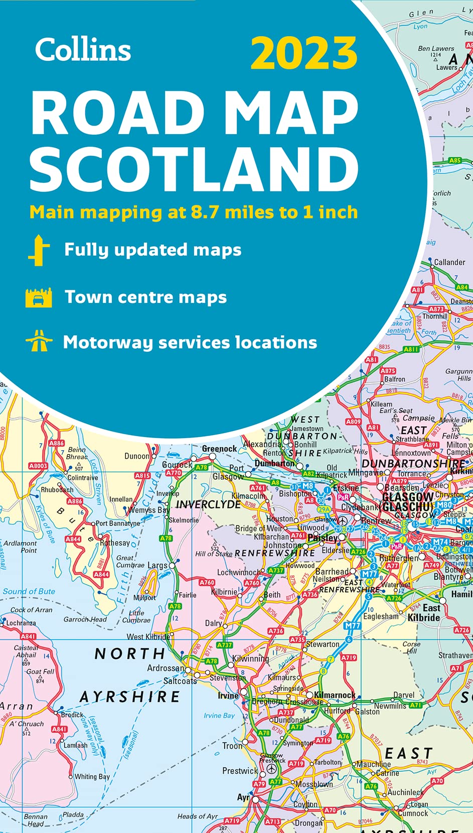
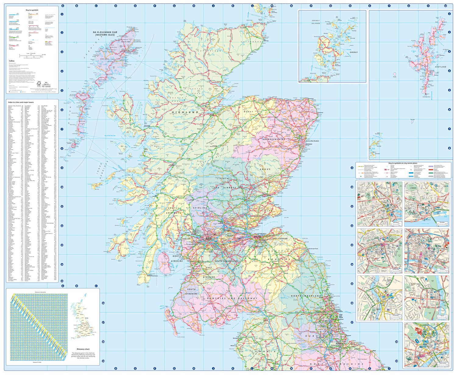
Scotland Road Map by Collins (2023)

$20.00

Available From Our Warehouse

Please allow an extra 7-10 days for us to get your order away.

ISBN 9780008447861
Publisher Collins
Size 141 x 248 x 10mm
Weight (g) 110g

Available From Our Warehouse

Please allow an extra 7-10 days for us to get your order away.

Product description

Discover new places with fully updated road maps from Collins.

Full color map of Scotland at 8.7 miles to 1 inch (1:550,000) with clear, detailed road network and administrative areas shown in color. The map covers the whole of Scotland and part of Northern England conveniently on one side, and is ideal for reference or route ... Read More

Discover new places with fully updated road maps from Collins.
Full color map of Scotland at 8.7 miles to 1 inch (1:550,000) with clear, detailed road network and administrative areas shown in color. The map covers the whole of Scotland and part of Northern England conveniently on one side, and is ideal for reference or route planning. The map shows the road network in detail for easy route planning. It is ideal for business users also, with its political coloring of local council areas.

Main features:
  • Fully updated
  • Administrative areas shown in color
  • Clear, detailed road network and road distances
  • Town and city names, rivers, railway lines and canals are clearly shown
  • 7 city/town center street plans showing places of interest
  • Index to place names
  • Mileage chart
  • Car ferry routes
  • Key in English, French and German
Show Less
Isbn 9780008447861
Publisher Collins
Size 141 x 248 x 10mm
Weight (g) 110g

Stuff you've looked at recently