The Grampians: Wonderland/Central Day Walks Map and Guide
Product description
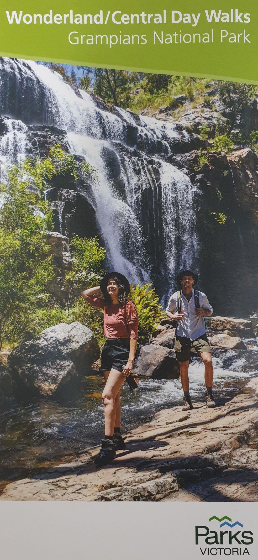
The Grampians National Park (Gariwerd) is located in western Victoria, 260km west of Melbourne and 460km east of Adelaide. For over 22,000 years, Gariwerd has been the traditional land of the Jardwadjali and Wurrung Peoples. Explore the natural beauty and cultural heritage of Gariwerd from its popular hiking trails, majestic waterfalls, dazzling spring wildflower displays, unique wildlife, and awe-inspiring mountain panoramas. Heritage-listed for its national and plant life, significant ...
Read More
![]()
The Grampians National Park (Gariwerd) is located in western Victoria, 260km west of Melbourne and 460km east of Adelaide. For over 22,000 years, Gariwerd has been the traditional land of the Jardwadjali and Wurrung Peoples. Explore the natural beauty and cultural heritage of Gariwerd from its popular hiking trails, majestic waterfalls, dazzling spring wildflower displays, unique wildlife, and awe-inspiring mountain panoramas. Heritage-listed for its national and plant life, significant Aboriginal heritage, and stunning natural beauty, Grampians National Park is one of Australia's most recognisable natural places.
Featured around the beauty and mystery of the Wonderland Range which lies beyond roads and picnic areas but is easily discovered by foot, this informative map and guide from Parks Victoria provides 28 suggested day walks plotted on a compact map. It includes famous walks such as the Pinnacle, Venus Baths, and Mackenzie Falls.
Choose from a short leisurely stroll, a steep climb to a view, or a day-long hiking adventure.
KEY FEATURES
- A small overview map of the Central Grampians
- A plotted map of the walking tracks in the Wonderland Range
- Details of 28 suggested day walks including distance, time, elevation, grading, and starting point
- Emergency information
- Overnight hiking information


