
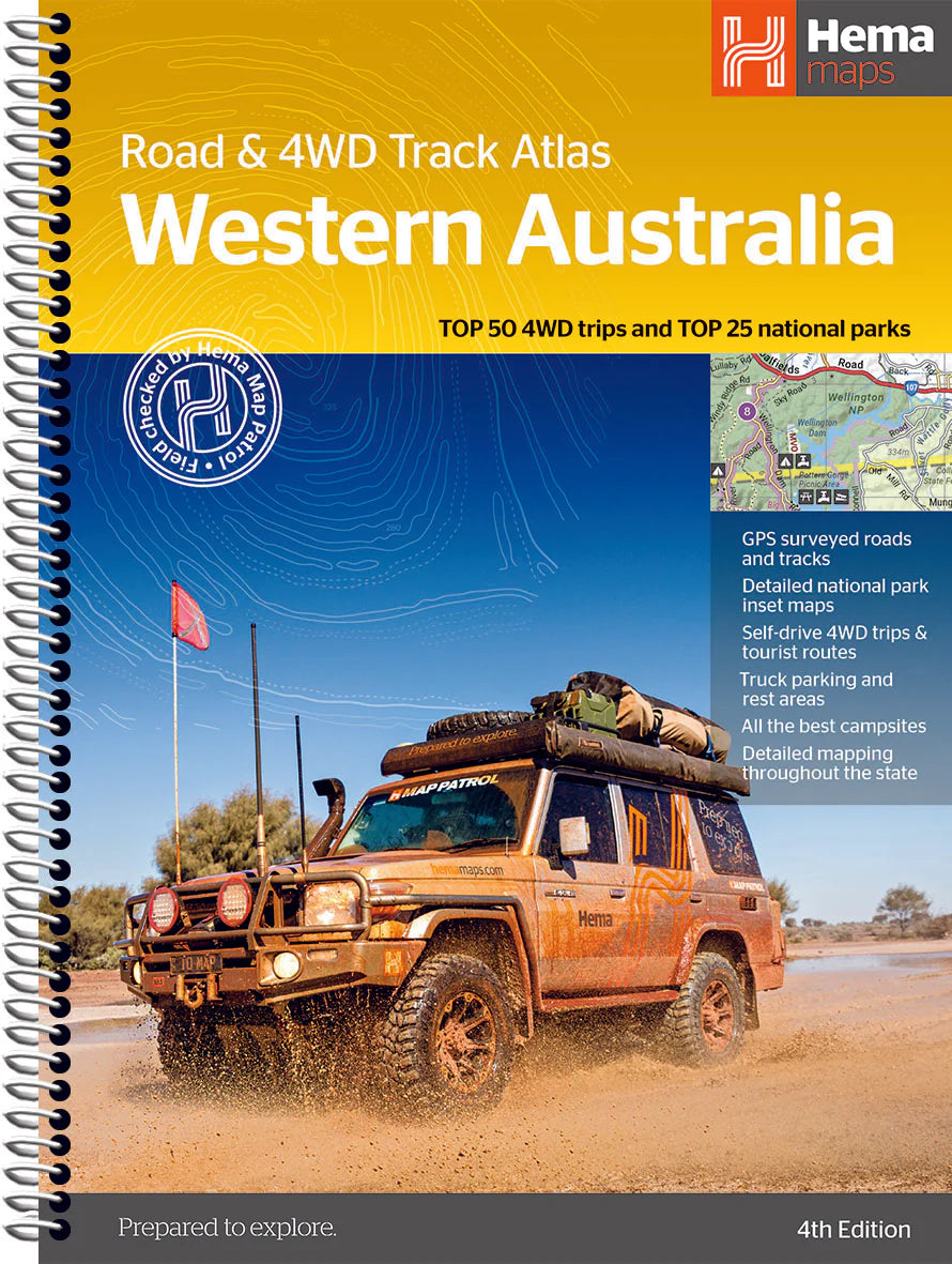
Western Australia Road & 4WD Track Atlas by Hema Maps
| ISBN | 9781922668875 |
|---|---|
| Publisher | Hema Maps |
| Size | 230 x 290 x 20mm |
| Weight (g) | 950g |
Product description
Pre-order now for delivery in early March!
Embark on a grand exploration of Australia's largest state with the Hema Maps Western Australia Road & 4WD Track Atlas. This comprehensive guide is your key to planning and navigating an unforgettable journey through Western Australia (WA), offering state-wide atlas mapping that spans the entire State.
This atlas unveils the topography of the region, providing detailed coverage for precise navigation. Discover adventure with ...
Read More
![]()
Pre-order now for delivery in early March!
Embark on a grand exploration of Australia's largest state with the Hema Maps Western Australia Road & 4WD Track Atlas. This comprehensive guide is your key to planning and navigating an unforgettable journey through Western Australia (WA), offering state-wide atlas mapping that spans the entire State.
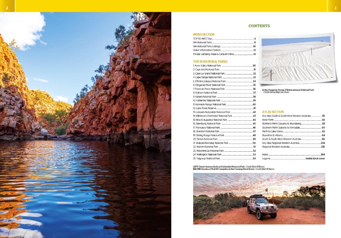
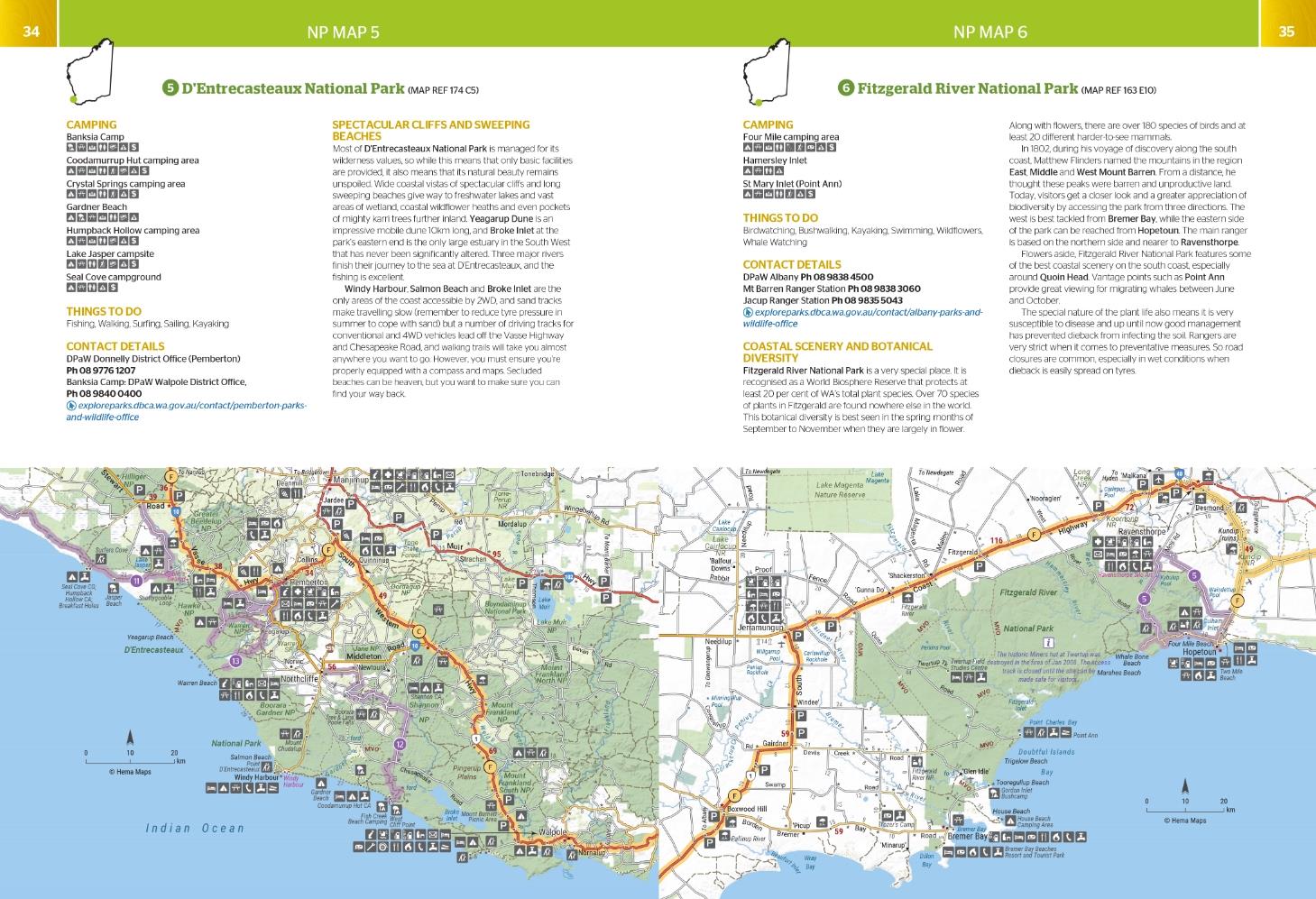
This atlas unveils the topography of the region, providing detailed coverage for precise navigation. Discover adventure with the Top 50 4WD Trips, each accompanied by track grading, distances, contact information, and an atlas reference. Immerse yourself in the natural beauty of Western Australia's Top 25 National Parks, where you'll find detailed information, including camping areas, activities, contact details, inset maps, and unique features that make each park special.
This atlas goes beyond the beaten path, offering insights into private camping areas and caravan parks, ensuring you have a range of accommodation options. An index and a list of accredited visitor centres within Western Australia add to the practicality of this guide. Whether you're a seasoned 4WD enthusiast or a traveler seeking to uncover the wonders of Western Australia, this atlas is your comprehensive companion for an enriching and well-guided adventure.
Key Features
- Top 50 4WD Trips
- Top 25 WA National Parks
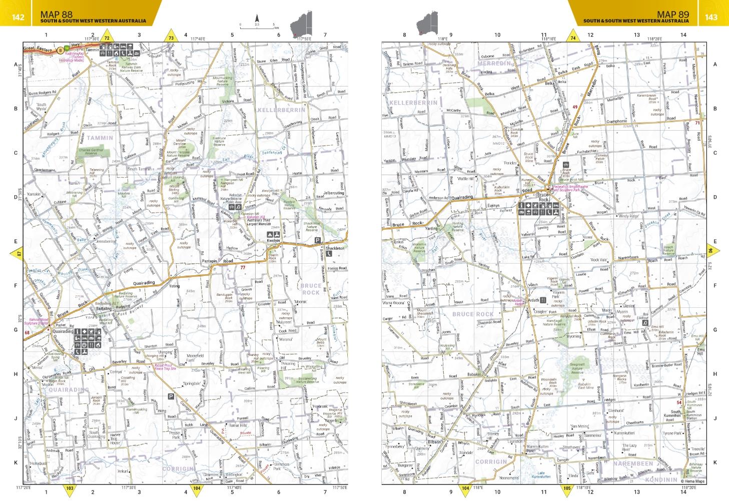
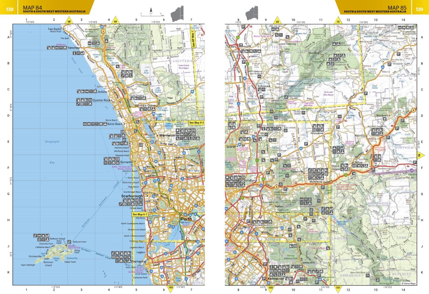
- Detailed mapping throughout the State (1:250,000)
- Caravan parks & dump points
- Camping and rest areas
- Truck Parking
- Visitor Centres
| Isbn | 9781922668875 |
|---|---|
| Publisher | Hema Maps |
| Size | 230 x 290 x 20mm |
| Weight (g) | 950g |


