
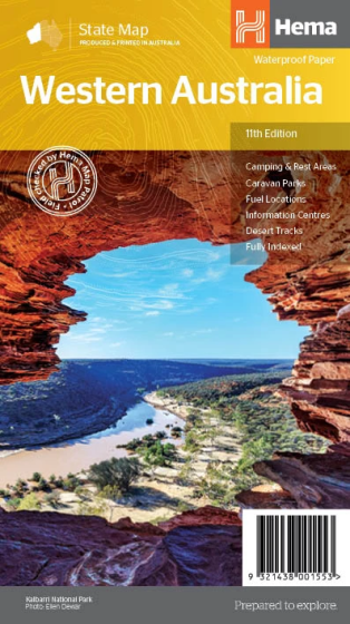
Western Australia State Map Road Map (11th Edition) by Hema Maps
| Australia region | Western Australia |
|---|---|
| Barcode | 9321438001553 |
| ISBN | 9321438001553 |
| Format | Maps |
| Publisher | Hema Maps |
| Size | 140 x 250 x 3mm |
| Weight (g) | 100 g |
Product description
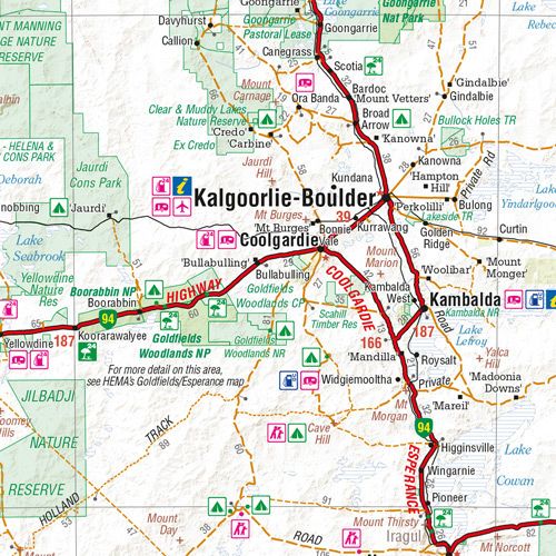
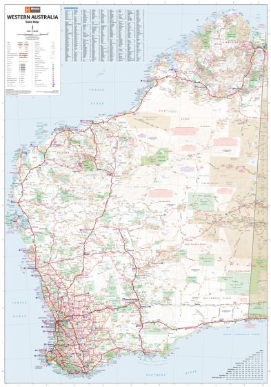
A state map of Western Australia at a scale of 1:2,500,000. Marked on the map are national parks, points of interest, 24-hour fuel as well as camping and rest areas.
On the reverse side are national park maps of Leeuwin-Naturaliste, Cape Range, Nambung, Francois Peron, Purnululu, Walpole-Nornalup and Karijini.
Also included are CBD and throughroad maps of Perth. There is a full index included, as well as all national park ...
Read More
![]()
A state map of Western Australia at a scale of 1:2,500,000. Marked on the map are national parks, points of interest, 24-hour fuel as well as camping and rest areas.
On the reverse side are national park maps of Leeuwin-Naturaliste, Cape Range, Nambung, Francois Peron, Purnululu, Walpole-Nornalup and Karijini.
Also included are CBD and throughroad maps of Perth. There is a full index included, as well as all national park information.
- Points of interest
- 24-hour fuel
- National parks
- Camping areas
- Rest areas
- Fully indexed
| Australia region | Western Australia |
|---|---|
| Barcode | 9321438001553 |
| Isbn | 9321438001553 |
| Format | Maps |
| Publisher | Hema Maps |
| Size | 140 x 250 x 3mm |
| Weight (g) | 100 g |


