Stay Safe While Four Wheel Driving this Wet Season

Western Australia’s coastline between Broome and Exmouth is the most cyclone-prone region in Australia. The tropical cyclone season between November and April can see an average of five tropical cyclones in the area. Two of these will cross the coast and one will be severe. Of all the severe cyclones in Australia since 1970, 75% were in WA. If you are planning a four wheel drive trip around WA’s top end during the wet season, it’s important to be prepared.
Predictability
Tropical storms vary widely in intensity as well as predictability. The Bureau of Meteorology (BOM) issues forecasts of the location and intensity of cyclones at 12, 24 and 48 hours intervals. Some cyclones follow typical paths while others change rapidly in intensity, course and speed. Western Australia has seen cyclones change from a category two to category five in 24 hours and another made a quick U-turn close to the coast, catching residents and tourists by surprise. Forecast accuracy has improved in the past three decades due to more accurate computer models and improved monitoring technology using satellites. Cyclones that develop well off the coast allow for greater community awareness and preparedness than those that cross landfall soon after developing.Communication
 One of the joys of travelling around the great open country is the opportunity to disconnect from the real world. However, if there is a cyclone developing in the region you want to stay connected for regular updates on its category and potential path. By listening to media updates or visiting the BOM website, you can change your route so you don’t drive into straight a disaster. You can stay connected with regular cyclone updates by:
- Visiting the BOM website’s cyclone page for the latest information
- Staying tuned to ABC radio in the car for weather updates
- Visiting the Department of Fire & Emergency Services (DFES) website
- Checking cyclone watch & warning information, by calling BOM’s automated telephone messages on 1300 659 210 (WA), 1300 659 211 (NT) or 1300 659 212 (Qld).
When You’re in a Cyclone’s Path
Vehicles, caravans and camper trailers are definitely not cyclone proof and therefore it’s not safe for you to stay in the cyclone’s path. You are best to contact the local authorities or shire to find out the location of your nearest evacuation centre. When you arrive at the evacuation centre, take a change of clothes, closed-in shoes, toiletries and your emergency kit from the car. If you don’t have time to evacuate and you’re on the road when a cyclone hits, park in an area that is clear of trees, power lines and waterways. A handy step-by-step guide for treating medical problems and injuries is the St. John Ambulance's Australian First Aid Manual.Driving After Heavy Rains
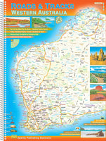
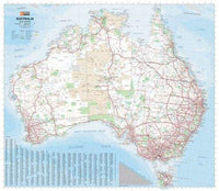
 A tropical storm or cyclone (even mild ones) can cause havoc on North West roads. After heavy rain roads can be impassable due to flooding. Driving through a flooded road shouldn’t be attempted so it’s important to find a safer alternative route. Travelling with a North West map gives you peace of mind knowing you can plan out your route if a road closes. The road detail on the map shows major highways all the way down to unsealed roads, old tracks and 4WD only routes. For updates on road closures, check with the local shire.
Featured collection
Categories:
4wd
australia
Posted on: Nov 18, 2016


Comments