
Large Scale vs. Small Scale Maps - What?
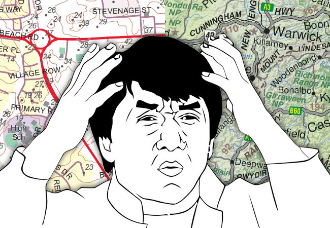
 Everybody gets this wrong and it’s not hard to see why. You look at a map, the scale says 1:1,000,000 and you think large number, large area covered - that must be large scale, right? Nope. Our brains like to associate big things with other big things, but brains like doing lots of things they probably shouldn't.
What is the Difference Between Large Scale vs. Small Scale Maps?
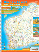
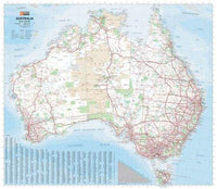
 The scale on a map is a representative fraction, so the scale of the map on the left is a large scale map is 1:25,000 which means that objects on the map are drawn at 1/25,000 of their actual size. The map on the right a small scale map is 1:4,500,000, so objects are 1/4,500,000 of their actual size. 1/25,000 is a larger fraction than 1/4,500,000 and a larger fraction means a larger scale! (If fractions aren't your thing just think of a pie cut into 25,000 slices, one of those slices is going to be much larger than a piece from a pie cut into 4,500,000 slices.) Is it simple? No? Another easy way to remember it is that the larger an object on the map is, the larger the scale is. So your brain can do it's associations after all - it just has to do the right ones! Are you still feeling confused? Grab a copy of "Surviving The Great Outdoors" or our friendly team at The Chart and Map Shop is happy to help you in understanding the difference between large scale and small scale maps. Contact us today or pop into our Fremantle, WA location!
Featured collection


Categories:
news
travel
Posted on: Feb 17, 2015


Comments
David
Jan 22, 2025Well let’s change it so it makes sense.